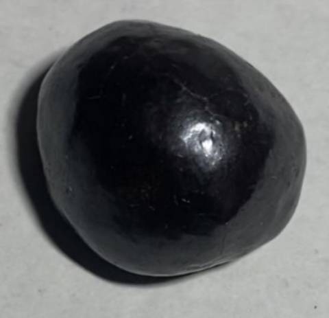
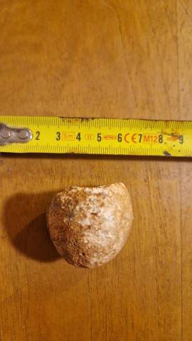
......questa però sembra coincidere meglio:
The chain can be divided into three subsections. The first, the Hawaiian archipelago (also known as the Windward isles), consists of the islands comprising the U.S. state of Hawaiʻi (not to be confused with the island of Hawaiʻi). As it is the closest to the hotspot, this volcanically active region is the youngest part of the chain, with ages ranging from 400,000 years[1] to 5.1 million years.[2]
....e questa, che rappresenterebbe uno dei 2 poli di depressione:
The Tibetan Plateau is a collage of continental fragments that were added successively to the Eurasian plate during the Paleozoic and Mesozoic eras. Paleomagnetic data indicate that these fragments were at southern latitudes during the Paleozoic. The sutures between these microplates are marked by scattered occurrences of ophiolitic material caught up between the crustal blocks during accretion. From north to south, the main Tibetan crustal blocks are the Kunlun, Songban-Ganzi, Qiangtang, and Lhasa terranes. All, save the Songban-Ganzi Complex, are true continental fragments, underlain by ancient Precambrian basement. Uplift of the plateau began in the early Miocene and it probably reached its present elevation by about 8 Ma (million years). Tibet is underlain by continental crust about 65 km thick, compared with more usually thicknesses of about 30 km.Three major theories have been proposed for the origin of this immense thickness with many additional minor variations upon them.
.
Questa sopra è wikipedia.
Uno studio più completo: (copia-incolla, altrimenti il link non va) http://www.geo.arizona.edu/~ozacar/frontp~1.htm
Finalmente dati gps della zona!

Questa sezione, stranamente, mi ricorda un.... un..... come si dice? Un innominabile?


è proprio così che lo immaginavo sotto!
Faglie inverse contrapposte?!?? Dove si potrebbero trovare? nella sezione del solito innominabile?

In their model strike-slip faults develops at weakly welded sutures where oblique subduction is partitioned. In first order approximation, model seems working but there is still no solid data indicating the postulated intracontinental subduction zones.
....ancora:
Briefly, the unique part of this model is the way how I interpreted the anisotropy results. All the researchers that I know, assumed a more or less uniform plane for the upper most mantle anisotropy. Since we are not able to resolve the dip of the anisotropic plane but only the trend, these results can also be explained by anisotropic structures with spatially changing dips.
Peccato sia stata fatta "in coda". Me ne servirebbe una più ad E, dove finisce la pianura a S dell'himalaya, tra i 2 muri di montagne con i fronti di avanzamento che si avvicinano.....
 https://staffroster.metu.edu.tr/my_staff_roster.php?ssn=MTY5Njc0
 Non riesco a trovare dati sull'altro polo: Nuova Zelanda.
Aiutino?